Climate Lab is a Seattle Times initiative that explores the effects of climate change in the Pacific Northwest and beyond. The project is funded in part by The Bullitt Foundation, CO2 Foundation, Jim and Birte Falconer, Mike and Becky Hughes, Henry M. Jackson Foundation, Martin-Fabert Foundation, Craig McKibben and Sarah Merner, University of Washington and Walker Family Foundation, and its fiscal sponsor is the Seattle Foundation.
The earthquake recorded Tuesday off Russia’s far eastern coast was one of the strongest in recorded history. People across the Pacific Ocean braced for potentially devastating tsunami to follow.
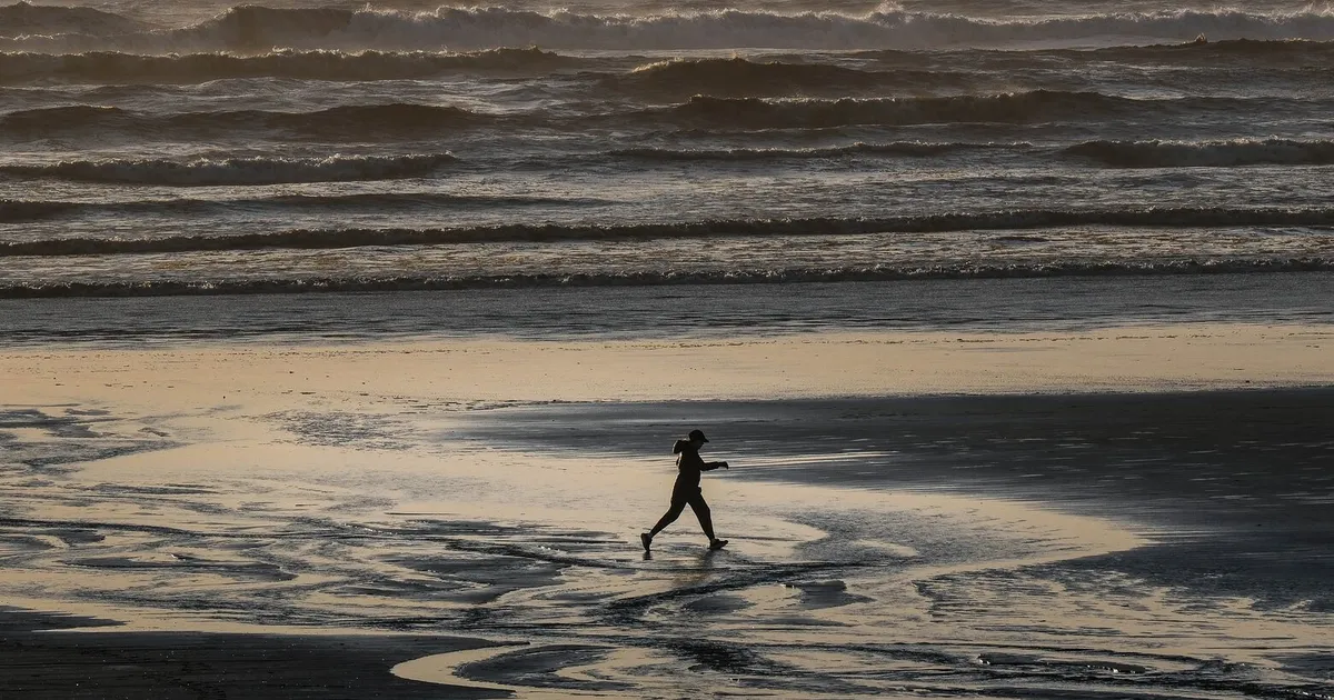
Some damage and flooding were seen in the nearby and sparsely populated areas. But across much of the ocean, including the Washington coast, the tsunami didn’t amount to much. No serious injuries or fatalities have been reported.
Waves and strong currents are expected to continue Wednesday, but officials canceled the tsunami advisory for Washington’s coast. It appears we’ve escaped largely unscathed.
Why?
The answers are nuanced, scientists say, but the simple explanation might break down to good luck in the location and timing of the earthquake. Here’s a look at some of the factors at play.
Think of a bell in a concert venue. If someone hits that bell with a hammer, you’re going to hear it. But not everybody in the place will hear the sound equally.
If you’re sitting in the front row or right by the sound mixing board, you’re probably going to hear the ringing best. But if you’re behind a pillar, some super-tall dude is blocking the stage or maybe you’re waiting in line for the bathroom, you won’t hear the bell as loudly or as clearly.
Tsunami waves are quite similar, said Jim Thomson, a professor and oceanographer at the University of Washington. Your distance from the bell and everything potentially blocking or hampering the sound in between will all make a difference.
In this case the bell was hit with a large hammer. The 8.8-magnitude earthquake off Russia’s Kamchatka Peninsula, east of the Bering Sea, was one of the most severe in modern history, but all sorts of little geometric details between there and the West Coast mean the waves diffused significantly.
Part of that, Thomson said, is the distance. The waves will lose strength over time and large expanses. But another part of that is the underwater topography, or bathymetry.
Underwater mountains, dips, curves and plateaus all affect how the waves travel over hundreds or thousands of miles. Generally, the more obstacles in the way, the weaker the waves will become.
On the opposite end of the spectrum, the bathymetry can also make the waves worse. Thomson mentioned the Indian Ocean tsunami in 2004, which killed nearly a quarter million people and left a trail of devastation throughout the region. Those particular waves hit shallower waters quickly, which slows them down but also juts them to higher elevations.
That’s called shoaling.
But this particular tsunami doesn’t appear to have encountered those conditions in Washington or elsewhere along the West Coast.
Wave energy from earthquakes isn’t spread out evenly, said Diego Arcas, a tsunami modeler with UW. The energy is effectively beamed out in different directions, each beam dictated by the geography and other conditions of the earthquake area.
If you’re not in the path of those “beams,” the waves won’t be as large, Arcas said.
What makes a difference as well is the angle of approach. A direct hit or perpendicular angle will generally be more destructive, he said. Say a tsunami was angled just so and its waves shot directly into the mouth of the Strait of Juan de Fuca. That would carry more risk than a glancing blow.
Washington appears to have been fortunate in these aspects.
So far, the waves in places like Neah Bay and Port Angeles rose about 1.3 feet, state emergency managers said on social media. Waters in La Push seemed to have risen a similar amount.
No significant flooding is expected along Washington’s coast, emergency managers said, though strong currents were still likely to pose a risk.
But, even though it’s farther away, Arcas said, he’s still keeping an eye on the coast of Chile, which seems to be in a more direct path for one of those beams of tsunami energy.
If the bathymetry and angle of approach both combined to diffuse the tsunami across the Pacific Ocean, so too did the timing. The waves reached Washington’s coast when waters were already among their lowest points of the day, Thomson said.
Water level spikes around Port Angeles began to show around 2 a.m., federal data shows. And the waves continued to escalate until around 7 a.m. But the daily high tides around this time of year tend to come around 7 p.m. so even at their highest point, the tsunami remained comfortably below the daily high-water mark.
The opposite can compound strong waves. In the winter of 2022 a king tide combined with heavy rains and an extreme low-pressure system, flooding into Seattle’s South Park neighborhood, spilling into at least 13 homes and forcing evacuations in the area.
Waves in Hawaii were a little higher because the tsunami happened to hit when the tide was higher, Arcas noted.
With all these factors combined, Washington, and indeed much of the West Coast, seems to have lucked out with the tsunami on Wednesday.
Karina Shagren, spokesperson for the Washington Military Department, said in a text message Wednesday morning that no damage had been reported across the state, nor had any communities requested help. The National Weather Service canceled its tsunami advisory for Western Washington around 10:30 a.m.
But ocean levels are rising around the world as polar ice caps melt and ocean waters themselves expand as they warm.
Over the past century, sea levels around Seattle have risen about 8 inches (some say higher), scientists say. Places on the coast, like the Quinault Nation’s village of Taholah, could see rises of up to a foot by 2050, perhaps 2 feet by 2100.
As those waters rise, these extreme moments like tsunamis will rise with them, elevating the risk to coastal communities, infrastructure and landscapes. That risk might still be relatively small when talking about tsunamis, Arcas said. Usually more devastating waves are measured in meters, so an added few inches from sea-level rise might mean only a marginal increase in severity.
At the same time President Donald Trump is dismantling federal agencies that track, document and study extreme weather fueled by climate change, and even gutting the services that provide early warnings for disasters. That, combined with the Trump administration’s push to eliminate the Federal Emergency Management Agency and other emergency relief programs, has many across the country worried about when the next disaster does strike.