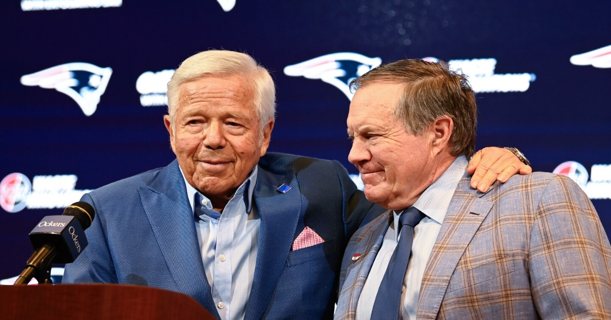
In his upcoming book, The Art of Winning, Bill Belichick made one very strategic omission. Patriots owner Robert Kraft is mentioned nowhere in the entire publication.
During Belichick’s book-tour interview with CBS Mornings, Belichick gave an arguably inartful explanation about the failure to include any reference to Kraft. Asked about the decision by Tony Dokoupil of CBS (and permitted to answer the question by his girlfriend), Belichick said this: “It’s about my life lessons in football, and it’s really more about the ones I experienced directly.”
Reminded that Kraft isn’t even listed in the Acknowledgements section (Belichick’s girlfriend is), Belichick opted for a blank stare before shaking his head, saying “correct,” and capping it all with a smirk.
“Do you feel like you were treated with dignity and respect when you were let go by Robert Kraft?” Dokoupil asked.
“Yeah, well, it was a mutual decision for us to part ways,” Belichick said.
“He said ‘fired.’”
“It was a mutual decision.”
Potato, potahto. If Kraft wanted Belichick to continue to coach the Patriots, Belichick would have continued to coach the Patriots.
Clearly, there’s animosity between Belichick and Kraft. Which is unfortunate, given what they accomplished together.
Our guess is that the lion’s share of the blame for the current state of the relationship likely rests with Belichick, who surely was offended that Kraft saw fit to separate from the greatest coach of all time.