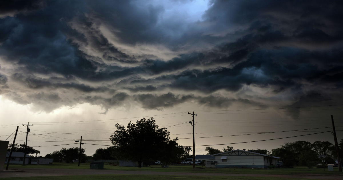
Dark storm clouds loom over Texas
Martin Lisius/Getty Images
A big storm is across the center of the U.S. Monday, April 28, spelling strong storm systems for the northern tip of the Midwest all the way down into Texas. Severe storms are brewing over a large swath of Texas on the first day of the work week which could bring large hail and damaging winds to areas already seeing severe weather season in full swing.
“Multiple corridors of severe thunderstorms are expected across the Upper Midwest later today into tonight, with regional severe weather outbreak possible,” a warning splashed across the National Weather Service website’s homepage reads. “The most dangerous period is likely during the late afternoon and evening when strong tornado potential should be maximized. Scattered large to very large hail and damaging winds are likely as well.”
Article continues below this ad
The southern end of the Texas Panhandle down into Central and West Texas is at the greatest risk of damaging weather. The majority of these areas are under some severe storm risk. From Childress to around San Angelo, the Storm Prediction Center has placed an enhanced risk of severe storms, a Level 3 of 5 risk.
But even a marginal risk carries nearly all the way down to San Antonio. Overall, more than half of Texas, primarily the western half, is under some level of threat for hail and strong winds.
“Storms could be strong to severe, mainly this afternoon and tonight and again Tuesday and Tuesday night into Wednesday morning,” the National Weather Service warns of Central Texas from its San Angelo office. “Any storm could produce large hail, damaging winds and an isolated tornado. There is also a potential for flash flooding for any areas that received repeated rounds of rainfall.”
Article continues below this ad
In Amarillo, it looks like storm chances hit Tuesday into Wednesday. There’s anywhere from a 40% to 70% chance of storms and thunderstorms between Tuesday morning and Wednesday night. Though, that particular NWS office has issued a hazardous weather outlook for the southeastern portion of the Texas Panhandle, warning again of large hail and damaging winds Monday afternoon and evening.
In Central Texas, particularly San Angelo which is in the path of enhanced risk, thunderstorm chances pick up Monday afternoon, at 20%, and the odds continue to climb until Tuesday night. Between Monday night and Wednesday afternoon, there’s a 40% to 80% chance of thunderstorms. Northeast of San Angelo, near the Texas border with Oklahoma, the Texas town of Childress has high odds of severe thunderstorms Tuesday through Wednesday, peaking at a 100% chance on Tuesday night.
“Thunderstorms possible late this afternoon into the overnight hours over the Rolling Plains. Some storms could be severe with large hail and damaging wind gusts. Chances for thunderstorms, some severe, will continue Tuesday through this weekend,” the NWS Lubbock office warns in a forecast including Childress. “A potentially significant flash flooding event is forecast to develop across the Rolling Plains late Tuesday night.”
Article continues below this ad
Severe storm odds could even reach further southeast toward San Antonio. Areas just northwest of the Alamo City are under a marginal, or very low-level, risk of hail and strong wind gusts accompanying storm odds. Though, if any storms do develop, they likely won’t hit the area until Tuesday night and into the middle of the week.