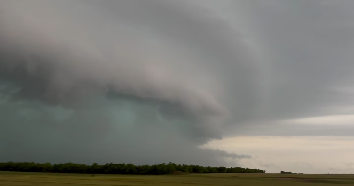
After days of stormy conditions largely in the central United States drove power outages and led to at least three deaths, multiple additional days of back-to-back storms are expected in the region. Severe thunderstorms, heavy rains and flooding, and the risk of tornadoes are expected in Texas, Oklahoma and surrounding areas Wednesday before storms spread east into Thursday.
Significant flooding was underway early Wednesday in southern Oklahoma and adjacent north Texas along the Highway 287 corridor. Some areas are reporting a month’s worth of rain in just 48 hours. Widespread rain totals of 4 to 6 inches had been observed in southwest Oklahoma near Lawton, and it was still raining at daybreak. This month has proved to be the second-wettest April on record for the state of Oklahoma, and more heavy rains are on the way.
Flood watches remain in effect from north Texas through western Arkansas, much of Oklahoma, and southwest Missouri. Flash flood warnings have also been issued. Morning storms were plowing through Dallas-Fort Worth, meanwhile, with additional redevelopment expected during the afternoon hours.
The National Weather Service Storm Prediction Center drew up an enhanced (Level 3 out of 5) risk of severe weather, which included the Dallas-Fort Worth metropolitan region. The agency warned that “large to very large hail, damaging winds, and tornadoes are all possible, with some strong-tornado potential.”
The episode comes after severe storms pummeled north Central Texas on Wednesday, dropping hail up to the size of DVDs near the town of Guthrie. Multiple rain-wrapped tornadoes touched down west of Wichita Falls near Seymour, and the same storm unleashed hurricane-force, straight-line winds.
In Pennsylvania, earlier storms turned deadly. Allegheny County Emergency Services announced two storm-related deaths on Tuesday. One of those, Pittsburgh Public Safety said, was a man electrocuted by live wires during the storm. In State College, the police department said a man hit a live wire while putting out mulch fire during the severe weather.
In Oklahoma, several highways, interstates and turnpikes are closed because of high water, including in Tulsa County. Skiatook Public Schools closed Wednesday because of flooding. At least one house was struck by lightning and destroyed, according to local news sources.
As of Wednesday morning, almost 500,000 customers were out of power in Pennsylvania. About 14,000 customers were out in Texas. Outages are relatively low in Oklahoma, with about 5,000 customers without power.
Over the past 24 hours, a swath of 2 to 4 inches of new rainfall fell from northwest Texas around Abilene to northeast Oklahoma and southwest Missouri. Up to 3 to 6-plus inches fell in the Oklahoma City area, especially the northern side around Edmond.
A zone several counties wide, including Oklahoma City, has seen 5 to 10 inches more rainfall than average for the month. Most parts of the Sooner State are running 200 to 500 percent above average.
There are two main factors driving the excessive rain.
For starters, the instigating cold front is oriented southwest to northeast, but the mid-level winds are parallel to the front. That means thunderstorms form on the front, but are never blown off the front. Instead, they surf the winds, straddling and riding along the front southwest to northeast. That means storms “train,” or move repeatedly over the same areas like railcars on a train track.
The other problem is something called isentropic lift, more commonly known as overrunning. It sounds complex, but is actually quite simple — as rain-cooled air sags south, it undercuts warm, moist and less-dense air. That warm, moist air overruns the cold air and ascends into the sky, where the moisture condenses and forms more rain.
That’s why it’s continuing to rain behind the front. So areas at risk first see downpours or thunderstorms along the front and then continued rains for hours on end. It’s a classic recipe for serious flooding.
The good news is that storms will continue to move along, at least on Wednesday. The bad news is that those storms will deposit a subtle outflow boundary, or the leading edge of cool air exhaust. That boundary will be a focal mechanism for more storms Wednesday night and Thursday.
Meanwhile, severe thunderstorms and the potential for tornadoes is becoming a concern, particularly around the Dallas-Fort Worth metropolitan area.
After morning storms clear, additional storms are likely to form, particularly south/east of Dallas, where there will be more available warm, humid air that hasn’t been touched by early-day storms. That could shunt the severe weather risk closer to Texarkana, Tyler, or even Waco in Texas or Shreveport in Louisiana.
Storms may also ingest extra low-level twist, which could boost tornado risk, particularly in the warm air south of the boundary. Any cells that form could also produce large, damaging hail.
By late evening, storms probably will have merged into additional windy lines and clusters.
With nearly 250 tornadoes surveyed this month, it should finish in the top five most active Aprils for total twisters. Only 2020, 1974, 2019 and 2011 have topped 250 touchdowns in the month. The 757 twisters in April 2011 remains in a league of its own.
This year’s active April comes on the heels of a March right around the record for most tornadoes.
More severe thunderstorms are possible across Central/East Texas on Thursday.
