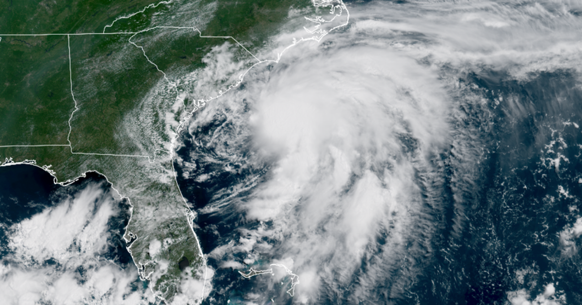
Tropical Storm Chantal is now less than 100 miles away from the South Carolina coastline, with landfall expected on Sunday north of Charleston.
Rough seas and heavy rainfall are the greatest threats as the tropical storm moves ashore and rains itself out over the Carolinas.
Already, lifeguard organizations across the Grand Strand have reported performing rescues of those venturing into the rough Atlantic.
Chantal was reported to have maximum sustained winds of around 45 mph, according to the National Hurricane Center.

(FOX Weather)
Tropical Storm Warnings remain in effect from South Santee River, South Carolina to Cape Fear, North Carolina. A Tropical Storm Watch is in effect from Edisto Beach to South Santee River, South Carolina.
“The number one impact by far will be the locally heavy rain, especially along and where the center comes on shore north of (Folly Beach) sometime late tonight, but more than likely, sometime Sunday morning, maybe before sunrise, maybe just after sunrise,” FOX Weather Storm Specialist Mike Seidel said from Folly Beach. “It’s a broad center at this point.”
 Tropical Storm Chantal Alerts.
(FOX Weather)
“With that said, if you get a gust 40 to 45 (mph), it probably is not going to cause any structural damage, likely not to knock out any power, a little if any power,” Seidel said. “Once again, re-emphasizing the rain and then on these beaches, you’ll have the wave action and certainly the rip currents, especially on the South Carolina coast up towards, say, Wrightsville.”
In addition, heavy rains are across the coastal plains of the Carolinas into Monday, with widespread areas receiving 2-4 inches. Some isolated spots could get up to 6 inches of rain, the NHC says.
Flood Watches are in effect for several counties along the South Carolina-North Carolina border, where the combination of high tides and heavy rainfall could lead to poor drainage at times.

(FOX Weather)
Chantal will even bring a minor storm surge to parts of the coast of the Carolinas.
“The combination of storm surge and tide will cause normally dry areas near the coast to be flooded by rising waters moving inland from the shoreline,” the NHC said.
Peak surge could reach about 1-3 feet in the Tropical Storm Warning area, and about 1-2 feet in the watch area.
HURRICANE HUNTERS FLY INTO WORLD’S WORST WEATHER – SEE WHICH STORM WAS THE BUMPIEST
 Tropical Storm Chantal Alerts.
(FOX Weather)