MONTROSE, Colo. (KJCT) – Montrose County issued Evacuations for residences on M73, N73, N74, and O74 roads.
Below is a map provided by the Black Canyon of the Gunnison National Park. All zones 1-6 are asked to evacuate immediately.
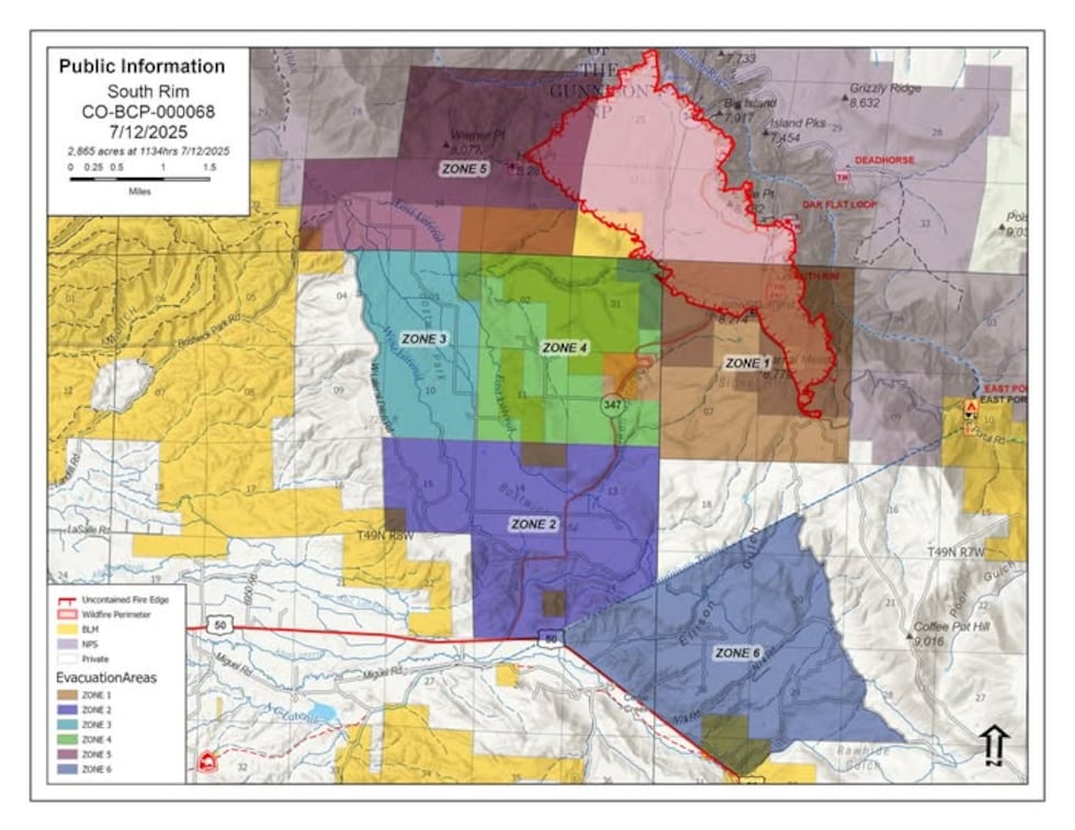
South Rim Fire Evacuation Map(Black Canyon of the Gunnison National Park)
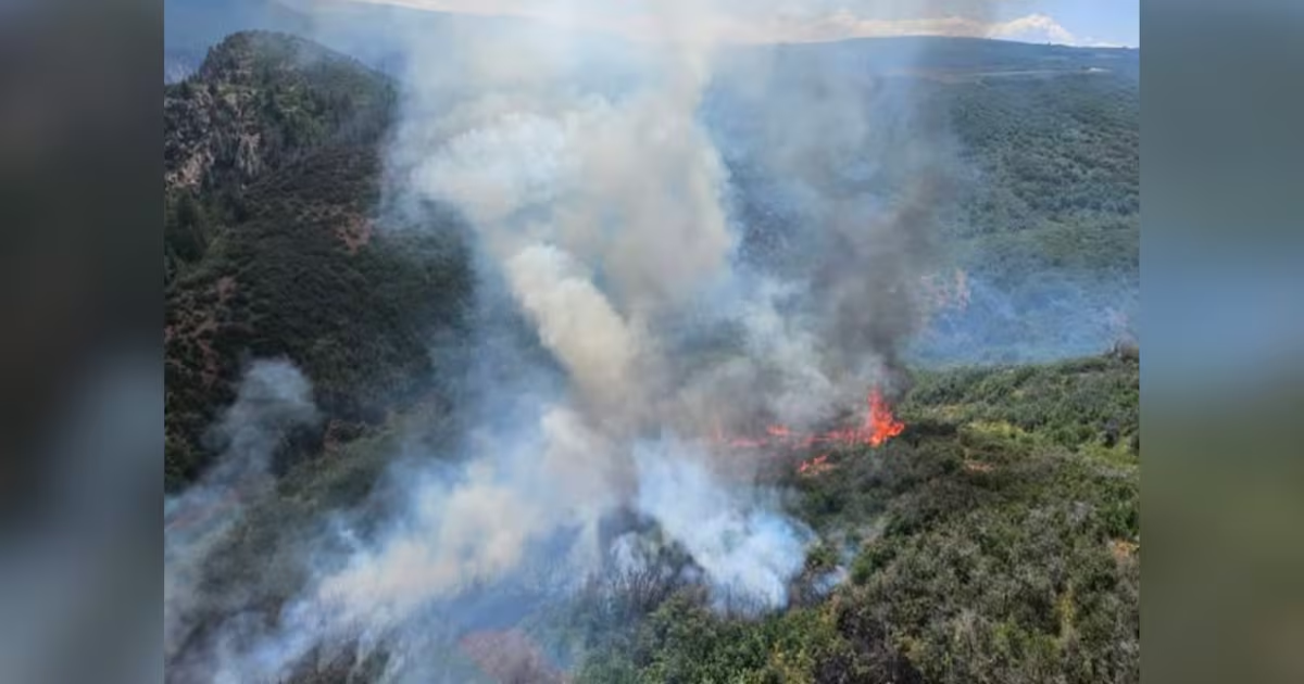
As of 6:23 pm, July 12, the South Rim Fire burns at 2,982 acres and is 0% contained.
All Bostwisk residents and K73 Trail are also under evacuation. Highway 347 and the Black Canyon of the Gunnison National Park are closed indefinitely.
Officials urge residents not to call 911 unless they have an emergency. For the latest information, you can contact the BLM information line: 970-240-1070.
Copyright 2025 KKCO. All rights reserved.