SPRINGFIELD, Ill. (WICS) — Quiet weather for now, but hefty storms are slated to slam into central Illinois for Friday night.
A powerhouse storm system is churning across the West and will soon advance into the Plains triggering a massive swath of showers and storms and very strong winds. Thursday remains a pleasant day with partly to mostly sunny skies along with more unseasonably mild temperatures as highs top out in the mid 70s while overnight lows bottom in the mid 50s.
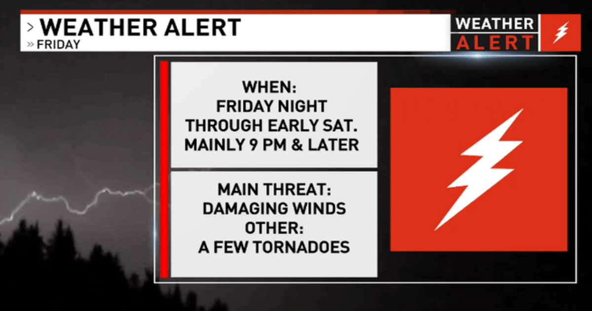
But Friday brings very active weather as this dynamic, vigorous low pressure system takes aim on central Illinois. A WEATHER ALERT is issued for Friday night. The Storm Prediction Center has elevated the threat level of severe storms for central Illinois, and now most of us are under a MODERATE RISK for severe storms Friday evening, meaning more widespread severe storms are likely (level 4, out of 5).
For Friday, expect a mix of sunshine and some clouds in the morning, but increasing clouds in the afternoon with highs on Friday around 79. But showers and strong storms will be arriving in the evening hours, and some storms could become severe. Storms should be plowing in as a potent squall line and initially blasting into western communities closer to the Illinois River and near Jacksonville around 8-9 PM Friday night. Then storms should be bearing down on Springfield and the I-55 corridor around 9-10 PM. The squall line will quickly sweep to the east impacting Decatur around 11 PM and should rumble into Champaign and the I-57 corridor around Midnight.
The storms are expected to be intense with all modes of severe weather possible including the potential of large hail, damaging wind gusts (winds possibly gusting around hurricane strength around 70-75 MPH), and a few robust tornadoes. Please make sure to have multiple ways to receive weather alerts and notifications. Even independent of where the storms are occurring, the winds will be fierce with gusts at times Friday evening into Saturday in excess of 50 MPH. The storm threat will be wrapping up by early Saturday, and all storms should be gone by daybreak Saturday. Expect skies to clear out and some sunshine returns for Saturday, but still staying very windy with highs around 65.