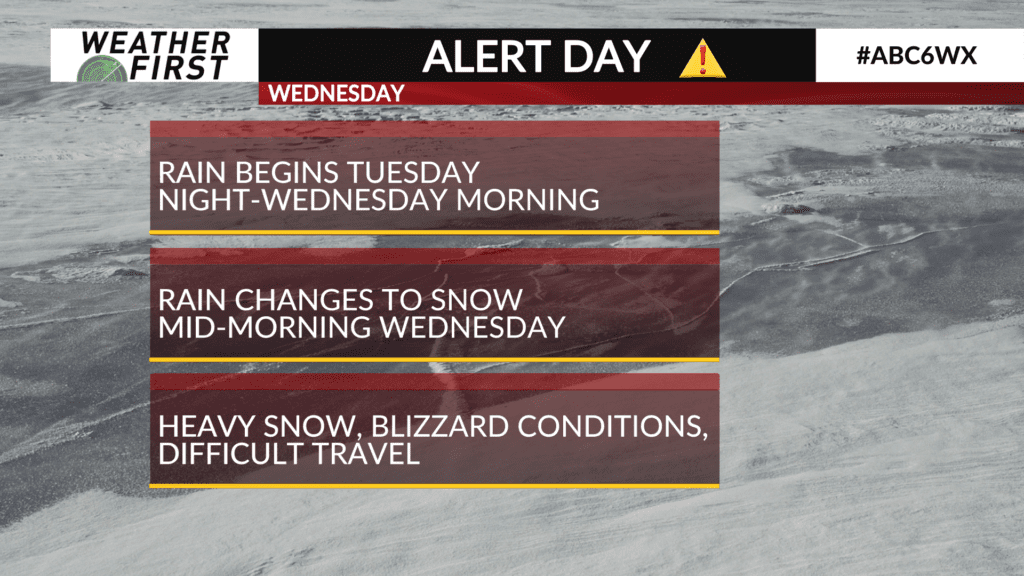
A powerful late-season winter storm will arrive on Wednesday bringing heavy snow to the area along with strong wind gusts leading to blizzard conditions.
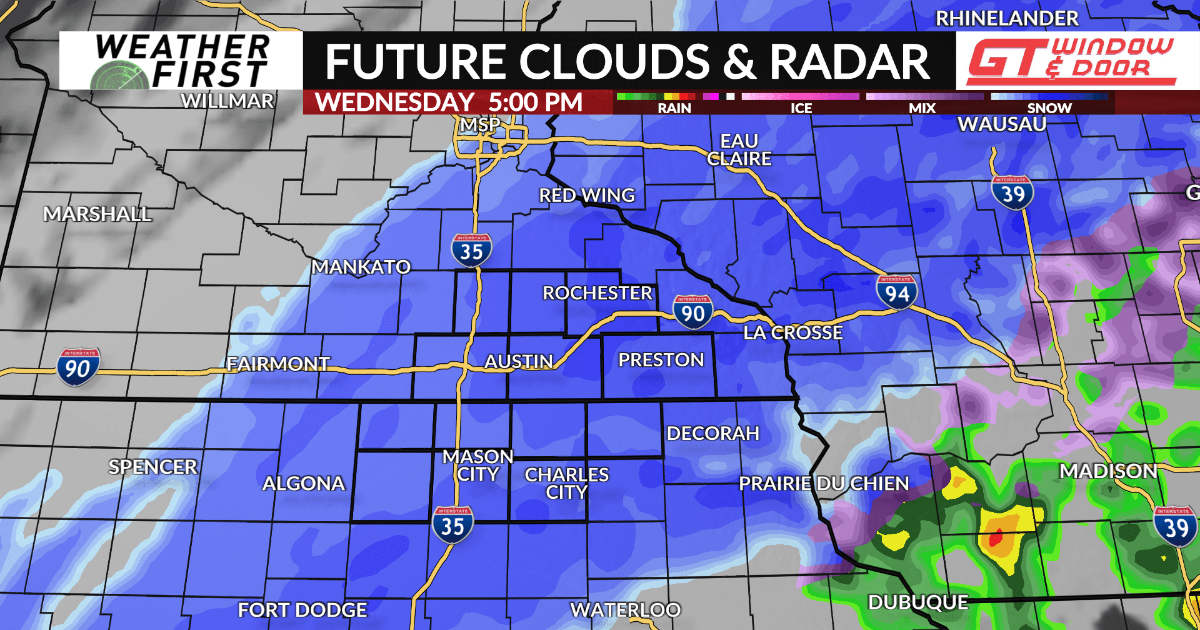
The day will start with rain for most as temperatures will be hovering around the middle 30s. However, the rain will gradually cool the air with a changeover to snow through the morning hours into the afternoon from west-to-east. Some sleet may also mix in at times during the transition.
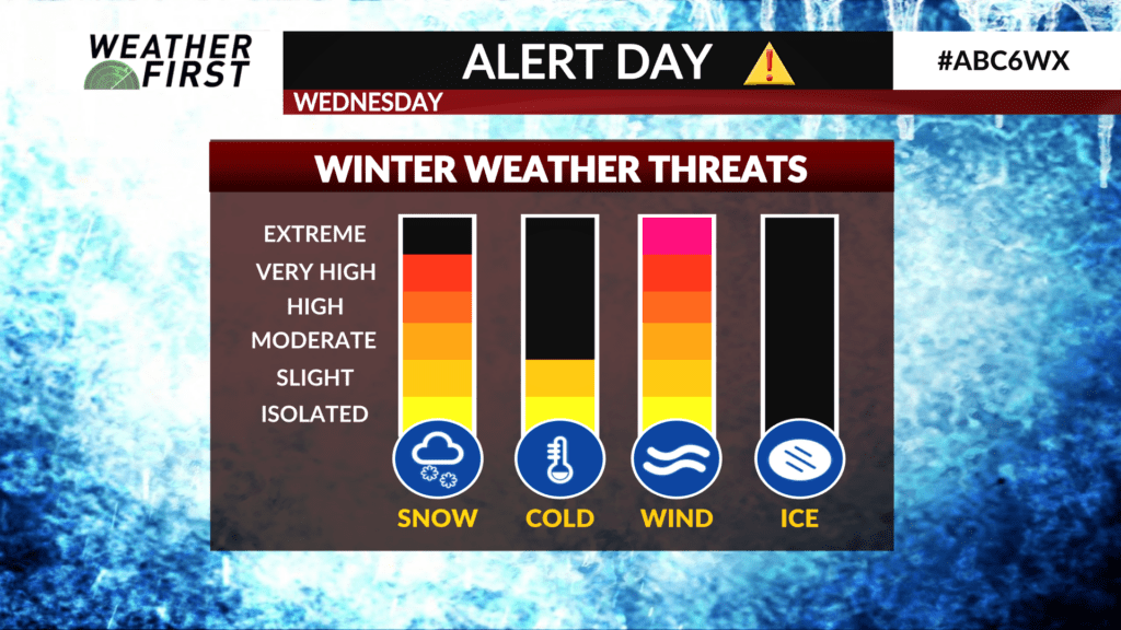
Snow will become heavy at times during the afternoon into early evening. Snowfall rates of 1-2″ per hour will be likely. The wind will also increase through the day with gusts of 55-65 mph leading to low visibility, blowing snow, and blizzard conditions resulting in very difficult travel.
Snow will taper off through Wednesday evening, but strong gusty winds will remain into Thursday with blowing snow and difficult travel continuing.
A narrow band of heavy snow is likely which will result in a sharp cutoff to its southeast and northwest. That band is expected to layout across most of North Iowa into Southeast Minnesota where 5-9″ of snow is likely with some places perhaps seeing up to one foot. Amounts taper off to 2-5″ across far Southeast Minnesota into Northeast Iowa where rain may hang on a bit longer before transitioning to snow.
A WINTER STORM WATCH is in effect for areas mainly east of I-35 from early Wednesday to early Thursday while a BLIZZARD WARNING is in effect for areas along and west of I-35 from early Wednesday until late evening.