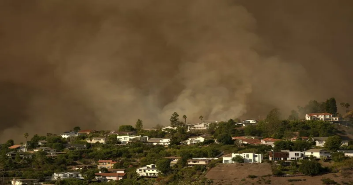
Two months after deadly wildfires razed thousands of homes in the Los Angeles area, Cal Fire has released a new map showing fire hazard severity zones for the entire state.
The maps were developed using science-based and field-tested models that assign a hazard score based on factors like fire likelihood and fire behavior, the agency said. Other factors include wildfire history, existing and potential fuel (i.e., natural vegetation), predicted flame length, blowing embers, terrain and typical fire weather.
There are three hazard levels: moderate, high and very high.
“Fire Hazard Severity Zone maps evaluate ‘hazard,’ not ‘risk’,” the fire marshal’s office said. “They are like flood zone maps, where lands are described in terms of the probability level of a particular area being inundated by floodwaters, and not specifically prescriptive of impacts.”
“Hazard,” according to officials, is based on the physical conditions that create a likelihood and expected fire behavior over a 30 to 50-year period without considering mitigation measures such as home hardening, recent wildfire, or fuel reduction efforts.
“Risk,” on the other hand, is the potential damage a fire can do to the area under existing conditions, accounting for any modifications such as fuel reduction projects, defensible space, and ignition resistant building construction.
The maps for most of Southern California, as well as a large portion of rural eastern California, including Inyo and Mono counties, were released on Monday as part of Cal Fire’s Phase 4 of Local Responsibility Area data. The first three phases encompassed the rest of the state, including Ventura County in Phase 3.
Map not displaying correctly? Tap here
A breakdown of zones by community can be viewed here.
Copyright 2025 Nexstar Media Inc. All rights reserved. This material may not be published, broadcast, rewritten, or redistributed.