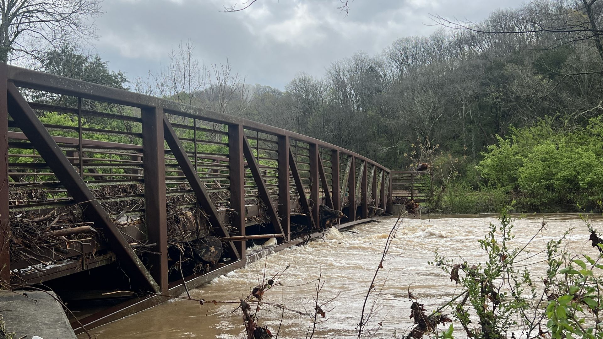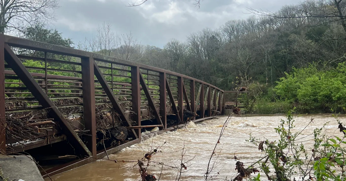
Flooding is inundating Nashville as Middle Tennessee weathers a seemingly endless string of severe storms.
State of play: Heavy rain made several roads throughout the region impassable on Thursday. Floodwaters temporarily closed major arteries, including Briley Parkway, Nolensville Pike and Murfreesboro Pike.
- Water rose in the neighborhoods off Woodmont Boulevard near Lipscomb University, where flooding reached cars parked in driveways and crept toward homes.
Threat level: Emergency officials urged drivers to exercise extreme caution. More rain moving into the area could quickly exacerbate dangerous conditions.
The big picture: The treacherous wave of weather moved into Tennessee late Wednesday, triggering a series of warnings that kept residents up overnight. So many back-to-back warnings were issued that they temporarily drained the batteries in some city tornado sirens.
- Another surge of rain and damaging wind is expected on Thursday afternoon and evening.
State of play: Nashville has avoided a major tornado so far, but parts of West Tennessee were hit hard. State officials confirmed deaths in McNairy and Obion counties on Thursday.
What we’re watching: More rain and storms are in the forecast through Sunday. The Nashville area could see an additional 2 to 5 inches of rain, according to the National Weather Service.
