(KFVS) – The First Alert Action Day is canceled for the Heartland.
We are tracking possible scattered storms throughout the morning.
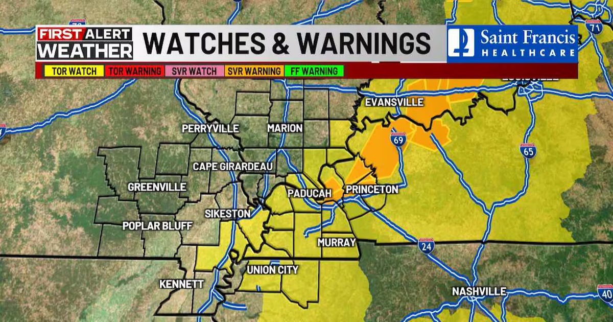
Wind Advisories are in effect for most of the area.
Overnight on Friday and into the early morning hours of Saturday, at least seven tornadoes were recorded.
According to the US National Weather Service, a Tornado Emergency was issued for Fremont and Van Buren, Missouri. Van Buren EMD says two people were trapped in a house by Fremont.
You can send us your weather photos and videos below.
Download the KFVS12 First Alert Weather app for updates wherever you are.
Weekend forecast
After a break on Saturday morning, another surge of rain and thunderstorms will develop southwest to northeast by Saturday afternoon.
The severe storm threat on Saturday will be along the eastern edge of our region, especially northwest Tennessee and parts of western Kentucky.
Highs will range from the 60s north to middle 70s far south on Saturday.
Sunday will be breezy and dry but much cooler. Lows Monday morning will be back to near freezing with scattered frost possible.
After that, we’ll see temps rebound along with southwest breezes for a couple of days.
Another cold front will bring a few showers and cooler weather later next week.
Copyright 2025 KFVS. All rights reserved.