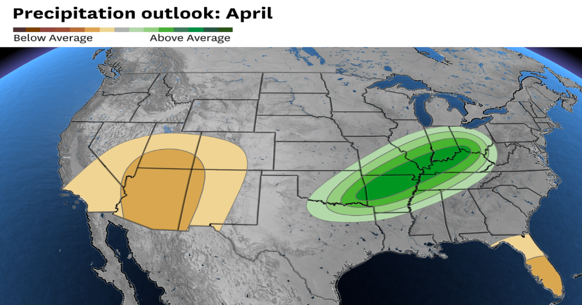
Southern California is expected to have below normal precipitation in April, while the rest of the state has an equal chance at seeing average precipitation next month.
NOAA
California is in for one last burst of stormy weather to kick off April — but it won’t last long.
“In the very short term, it does look cooler and wetter. But quickly thereafter, that system will go through and you’re going to enter a period of gradually warming temperatures,” said Jon Gottschalck, a forecaster with the Climate Prediction Center.
Article continues below this ad
The center’s latest monthly outlook shows that after some unsettled weather at the start of the month, California is likely to see an abundance of warm, dry conditions through April.
The upper-level weather pattern that arrives during the first week of April will be shaped by a strong ridge of high pressure over the eastern United States and an elongated trough, or area of storminess, over the West, including California.
Upper level pattern during the first few days of April shows a record strong ridge of high pressure over the southeastern U.S. and an area of storminess along the West Coast.
Tomer Burg
While the East Coast bakes under record heat, the West Coast will be locked into a cooler, unsettled pattern. That stormy weather won’t unfold evenly across the state.
Article continues below this ad
Northern California, including the Bay Area, will see light rain — especially along the coast — as a few weak frontal systems move through. Showers are likely through the first weekend of April in cities like Eureka and San Francisco.
In the Central Valley, places like Redding and Sacramento may see isolated thunderstorms develop in the wake of these fronts. Southern California will remain mostly dry, with only a slight chance of light precipitation in cities like Los Angeles, Bakersfield and San Diego.
The Sierra stands to receive the biggest boost of precipitation. With an upper-level trough centered over the mountains, favorable dynamics will squeeze out feet of snow across the Northern and Central Sierra through about April 4.
By the second week of April, the pattern will flip.
Article continues below this ad
“The pattern will be transitory, and as we get into the second half of week one and especially into week two, all indications are that the pattern will change. It will be cool and stormy in the East and warm and dry across the West,” said Gottschalck.
A narrow ridge of high pressure is expected to develop along the West Coast, leading to seasonably warm and dry conditions in California.
A pattern change during the second week of April will bring warm and dry conditions to the West Coast and cool and stormy conditions to the East Coast
Baron/Lynx
That’s especially true across Southern California, where measurable precipitation is unlikely. Temperatures will climb, with some inland areas likely to see highs in the 80s.
Central and Northern California will also turn dry and mild, as well as coastal areas. San Francisco may stay cooler due to offshore sea surface temperatures running below normal. The resulting onshore winds will keep coastal areas under cloud cover on some days.
Article continues below this ad
“San Francisco frustrates me,” Gottschalck said. “Even in years where we have strong signals and model agreement, that area will always be a dividing line and could be an outlier.”
Across the Sierra and the Central Valley, week two looks warm and dry. Valley temperatures will reach the 70s and 80s, while in the mountains, the snow-producing pattern from early April will have ended. Dry, seasonable conditions are expected through the second weekend of the month.
The warm and dry trend will expand statewide through the second half of the month. While some weaker storm systems may reach the West Coast, they aren’t expected to bring widespread rain or cooling.
Part of this shift relates to the fading influence of a sudden stratospheric warming event that occurred in late March. These events happen when the air high above the North Pole rapidly warms, sometimes by 50 degrees or more, disrupting the strong winds that typically circle the pole.
Article continues below this ad
“We did have a very late sudden stratospheric warming event this year. It’s kind of unusual to have it this late,” Gottschalck said. “The impacts usually translate into a more energetic jet stream and cooler, wetter conditions along the West Coast. That’s what we’re seeing at the beginning of the month, but that influence will fade.”
By late April, the seasonal high-pressure ridge that typically builds over the Southwest will begin to strengthen. That will bring hotter, drier weather to interior parts of Southern California, especially the Inland Empire and Mojave Desert, where some locations may hit the 90s.
Much of the southern half of the country, including parts of Southern California, are expected to have above average temperatures in April.
Baron/Lynx
The warmth will expand across most of interior California. Even the Bay Area will warm up, with highs in the upper 70s likely by the end of the month in cities like Santa Rosa, San Jose and Livermore.
While several long-range models suggest a warm, dry April for California, some uncertainty remains. That’s largely due to a weak La Niña pattern that is now fading into a neutral phase.
“This La Niña event didn’t really get going with respect to … getting typical La Niña impacts until pretty late in the second half of the winter,” Gottschalck said. “So it was a very late bloomer and very weak. In fact, it’s already decaying.”
Without a strong La Niña influence, the long-range forecast becomes more uncertain, with more outside factors affecting weather patterns. Since April typically brings lower average rainfall in California, even a single storm could push some regions above normal for the month.
Reach Greg Porter: [email protected]; Bluesky: @gporterwx.bsky.social