After a bout of heavy rain and hail Friday night, Oklahoma will face another round of severe weather Saturday.
According to the National Weather Service, large hail, gusty winds, and flash flooding are all possible Saturday evening as a cold front moves through southern parts of Oklahoma.
Here’s a look at when inclement weather could reach Oklahoma tonight:
Strong to severe storms possible on Saturday
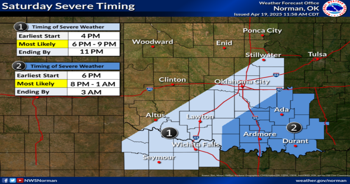
The National Weather Service forecast indicates that much of the severe weather expected to affect central and eastern Oklahoma will begin at 4 p.m. and 6 p.m., respectively.
The station reports that Central Oklahoma, from Altus to Stillwater, will likely experience severe weather from 6 p.m. to 9 p.m., with the event expected to conclude by 11 p.m. As for more southeastern portions like Ada and Durant, rainfall could start at 8 p.m. with an end by 3 a.m.

A map of potential timing of severe weather over Oklahoma.
Due to the showers coming on Saturday, NWS also warns of flash flooding through Sunday afternoon. They forecast that the most significant risk of flooding is along and southeast of I-44 near Ardmore and Durant.
Friday night weather brought tornado watches
The NWS reported much of south and eastern Oklahoma received a tornado or severe thunderstorm watch.
It was predicted that both portions could see hail as large as a golf ball. However, no sightings of hail have been reported by the NWS on Friday night.
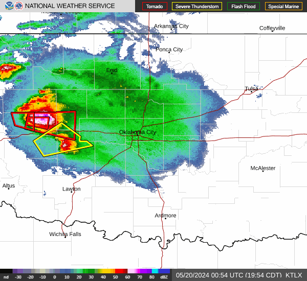
Oklahoma live weather radar
Weather alerts: Flood watch, warnings issued
Weather officials issued flood watch for much of the state due to excessive rainfall across Oklahoma through Sunday evening. Widespread rainfall amounts of 2 to 3 inches is expected, with up to 5 inches possible locally.
Those living in areas prone to flooding should be prepared to take action should flooding develop.
This article originally appeared on Oklahoman: Severe weather Oklahoma: Large hail, flash flooding possible Saturday