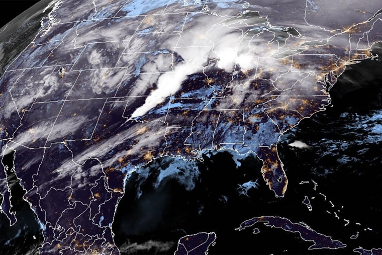
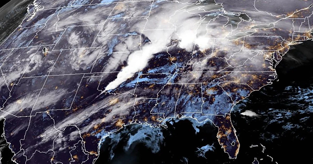
A powerful spring storm is forecast to unleash a tornado outbreak in the central part of the country on Wednesday, with multiple, long-track EF3 tornadoes possible, along with a potentially historic flash flood event.
Today 72 million from northern Texas to central Michigan are under severe storm risk in the system that will see heavy rain, flash flooding and strong tornadoes hit the Lower Ohio Valley and Mid-South region of the U.S., the National Weather Service said.
The flash flooding is “only the beginning of a multi-day catastrophic and potentially historic event,” the weather service warned in its morning advisory.
Severe storms will be possible for the next five days in a row — with the greatest risk Wednesday.
Today the storms pose a risk of multiple long track EF-3 tornadoes, wind gusts up to 75 mph or higher, damaging hail two inches or larger in diameter with a high risk area from Paducah, Kentucky, down to Memphis, Tennessee.
Cities that will be impacted in the storms include Dallas, Little Rock, Memphis, Nashville, Paducah, St. Louis, Louisville, Indianapolis, Chicago and Cincinnati. Cities at the greatest risk for strong tornadoes include Memphis and Clarksville, Tennessee; Paducah and Louisville, Kentucky; Little Rock and Jonesboro, Arkansas; Evansville and Bloomington, Indiana; and Southhaven, Mississippi.
This morning, tornado watches are in effect in parts of Missouri, Oklahoma and Arkansas, set to expire between 10 to 12 p.m. CT. (11 to 1 p.m. ET). These storms will re-invigorate with daytime heating, and head east into the night.
The storms have already started to roar.

A storm system builds over the mid-south region of the U.S. on Wednesday.NOAA
The National Weather Service office of Kansas City/Pleasant Hill Missouri said at 7:12 a.m. CT, a confirmed tornado was located eight miles northwest of Montrose, Missouri, moving at 50 mph.
The Storm Prediction Center set a High Risk Level (5/5) of severe weather across portions of the Mid-South today, as well as a Moderate Risk of excessive rainfall from the Lower Ohio Valley to the Mid-South, where several inches of rainfall and flash flooding is forecast into the evening and overnight.
The tornado outbreak and severe thunderstorms are expected to rumble over parts of the Lower Mississippi Valley into the mid-South and Lower Ohio Valley later on Wednesday into the evening impacting western amid middle Tennessee, Arkansas, western and central Kentucky, eastern Missouri Illinois, Northern Mississippi, Indiana, northern Louisiana, western Ohio, northeast Texas and southern Lower Michigan.
This storm system will become stationary across the region on Thursday, leading to more than 6 inches of rain possible from Wednesday to Thursday.
The severe threat continues for 42 million people tomorrow, 22 million on Friday, 27 million people on Saturday and 12 million on Sunday.
All hazards from damaging winds to hail and tornadoes will be possible each day for many of the same areas from Texas to Ohio as well as into the Mid-Atlantic tomorrow.
There storm system will also bring a high risk for flash flooding Thursday through the weekend.
The front will remain stalled into the weekend and the event is forecast “to bring potentially historic amounts of rainfall, with some locations possibly seeing as much as 10 to 15 inches or rain through the weekend,” the National Weather Service said.
This will be a long-duration, multi-day event where rounds of heavy rain with intense rainfall rates of two to three inches an hour will back-build over many of the same areas over the course of four days. Once the heavy rain begins tonight, it will continue on and off until Sunday.
Thirty-three million people are under flood watches stretching from Texarkana to Detroit today. One of the Flood Watches is a “Particularly Dangerous Situation (PDS)” Flood Watch.
The National Weather Service warned: “The forecast heavy rainfall in this event has a return interval of anywhere from 25 to 100 years. In other words a heavy rainfall event of this magnitude falling within 4 days is an event that happens once in a generation to once in a lifetime. Historic rainfall totals and impacts are possible.”
Communities are urged to prepare for the storm and “severe disruptions to daily life given the expected extreme rainfall and flood risk.”
