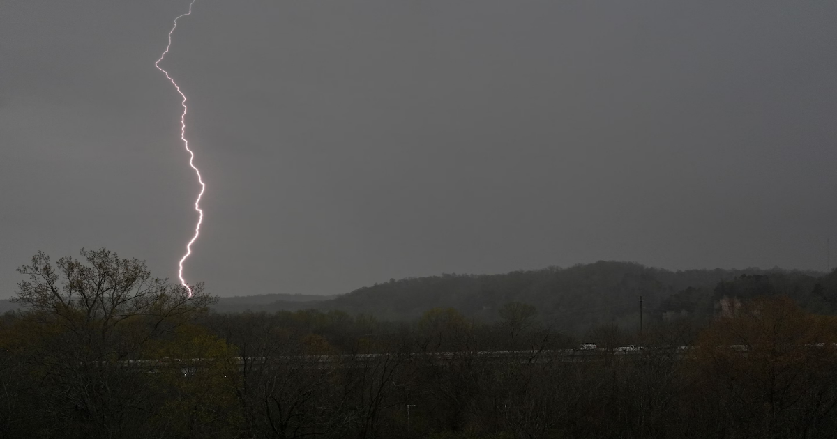
A destructive storm will continue for millions of people across the Mid-South on Thursday, following numerous tornado reports, damaging winds, large hail and flooding rainfall that began the day before.
While strong tornadoes aren’t expected to be as widespread on Thursday as they were on Wednesday, an enhanced risk (Level 3 out of 5) for severe thunderstorms covers 4 million people across seven states, from northeastern Texas to western Tennessee.
And still, a rare high-risk warning for excessive rainfall — the highest level issued by the National Oceanic and Atmospheric Administration — covers parts of five states Thursday, with the corridor including Memphis and Jackson in Tennessee and Jonesboro, Arkansas.
The Weather Prediction Center called it a “prolonged, life-threatening flash flood event” with “major flooding” expected.
As of early Thursday, there had been more than 450 reports of severe weather from Texas to Michigan, including more than 20 preliminary reports of tornadoes, damaging winds and, in some communities, hail the size of baseballs.
Nearly 400,000 customers were without power from Mississippi to Michigan early Thursday. More outages will probably occur later Thursday as strong storms redevelop.
Early Thursday, the tornado risk shifted eastward. While tornado reports have not yet been confirmed, the communities of Selmer and Bethel Springs, Tennessee, may have been hit by a pair of them a little more than two hours apart. Storms accompanied by tornado warnings then passed near Nashville, as tornado sirens rang out across the city.
States of emergency have been issued for Kentucky, Tennessee and Arkansas, while an executive order to activate the National Guard was signed in Missouri.
The threat for extreme weather will continue in the central states until early Sunday before shifting east.
Rounds of intense rain and/or severe thunderstorms will lash areas from Texas to Ohio on Thursday. Here’s what to expect:
A slow-moving plume of tropical moisture may cause dangerous flash flooding from northeast Texas to Ohio on Thursday.
Additional rounds of flooding are more likely in areas that experienced heavy rainfall and flooding on Wednesday because the ground is saturated.
A moderate risk (Level 3 out of 4) for excessive rainfall covers over 9 million people from Arkansas to Ohio, while a high risk (Level 4 out of 4) is in effect for more than 2.5 million people in eastern Arkansas, northern Mississippi, western Tennessee, southeastern Missouri and western Kentucky.
Rainfall amounts of up to 6 inches are possible in the hardest-hit areas, with river flooding possible or likely across several states.
The threat Thursday for severe thunderstorms will be widespread, covering a 1,500-mile stretch from northern Texas to central Pennsylvania, including the nation’s capital.
An enhanced risk (Level 3 out of 5) for severe thunderstorms covers parts of southeastern Oklahoma, northeastern Texas, Arkansas, far northern Louisiana, northern Mississippi, western Tennessee and far southeastern Missouri, home to more than 4 million people. It includes cities such as Memphis and Little Rock.
While the tornado threat won’t be as high as it was on Wednesday, the Storm Prediction Center says strong tornadoes will again be possible, primarily in a corridor from far northeastern Texas to southwestern Tennessee.
On the cold side of the storm, more than a foot of snow had fallen in northern Minnesota as of early Thursday. Snow amounts of 4 to 8 inches were common across the region, extending westward into the Dakotas.
The snow will end there early Thursday, but wintry weather will develop across northern New England, where freezing rain will make for dangerous travel conditions.
The threat for excessive rainfall and severe thunderstorms will continue into the weekend across the Mid-South because of an “atmospheric traffic jam” causing the storm to hit the same areas time and time again.
On Friday, the risk for flooding rainfall will be highest from northeastern Texas to southern Indiana — farther west than Thursday’s risk area.
Severe thunderstorms are expected to threaten the same corridor, with tornadoes again possible.
From Saturday into early Sunday, a high risk for excessive rainfall returns to many of the same areas that were hit hard on Wednesday and forecast to be significantly affected on Thursday — an area extending from eastern Arkansas to southern Indiana.
By the time the storm is done, more than a foot of rain probably will have fallen in some areas.
The system will shift toward the Eastern Seaboard on Sunday as the threat eases across the central states.
