Oklahoma tornadoes are possible Monday through the evening hours, so make your preparations now.
Most of Oklahoma is at risk of experiencing weather today, but the biggest risk for severe storms, tornadoes, hail and high wind will be west of Oklahoma City.
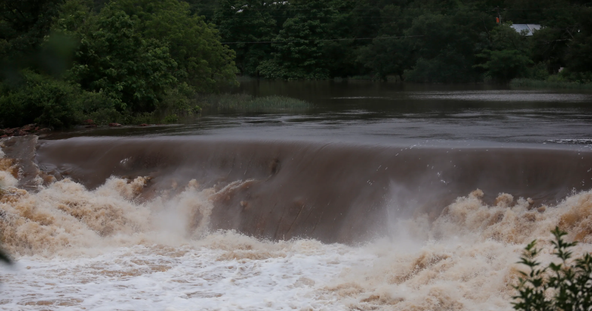
Oklahomans should also be aware of expected heavy flooding or flash floods over the next few days as the atmosphere brings a ton of rain to areas that are already water-logged.
Severe thunderstorms expected Monday afternoon, evening
The earliest start for severe weather on Monday will be around 4 p.m. but is most likely to start after 6 p.m. in western Oklahoma. The storms will form along and ahead of a dryline that will stretch from southwest Oklahoma into western-north Texas.
“Given thermodynamic and wind profiles any storms that do develop will likely be supercellular and have the potential for very large hail, damaging winds and tornadoes,” the latest NWS report notes.
More: How to prepare your family, property for flooding in Oklahoma
Heading into Monday evening, a slowly advancing cold front will increase the chance of thunderstorms near and north of the Interstate 44 corridor.
Any storms that make it to the Oklahoma City area will do so after 7 p.m.
“Flooding risk will also ramp up as rounds of heavy rainfall occur over areas that are saturated from previous events,” the NWS said.
The risk of severe weather in central Oklahoma continues until at least 3 a.m. Tuesday.
Live radar for Oklahoma City area
Check here for live weather radar from the National Weather Service.

Severe weather alerts in Oklahoma
Check this map for weather alerts and warnings issued in Oklahoma.
Watch out for flooding Tuesday and Wednesday
On Tuesday afternoon, forecasters expect “robust” severe storms along and south of the I-44 corridor. This threat extends the risk of flooding with multiple rounds of heavy rainfall in southwest and central Oklahoma.
Those areas of the state have seen between 2 and 5 inches of rain in just the past three days, which will exacerbate the flood risk.
The flood danger continues with more chances of rain on Wednesday, but drier conditions will prevail Wednesday evening.
Long-term forecast includes even more rain
Beyond Wednesday, forecasters believe the atmosphere is setting Oklahoma up for a weather pattern that has a chance of bringing multiple rounds of rain across Oklahoma through next week.
Although Thursday and Friday will probably be dry, the NWS said, but a large weather pattern from the west will take shape this weekend, bringing with it a higher chance of rain for Oklahoma.