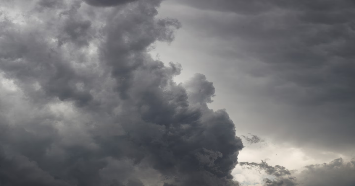
The central, southern and eastern United States are facing an outbreak of severe weather that could last until Sunday, including possible tornadoes, hail and dangerous winds gusting 60 to 80 mph.
Dangerous conditions will peak Saturday, with one of the most prolific tornado-producing setups in years expected to develop over the Deep South and disastrous results likely.
The storms were already sowing chaos Friday. St. Louis officials reported vehicles caught in flooded areas, while the National Weather Service warned of flying debris and damage to mobile homes, roofs, windows, cars and trees.
The Weather Service reported observations and radar indications of tornadoes in Missouri, Illinois and in Arkansas late Friday.
Images from the Plains showed toppling power lines, brush fires along roadways and overturned tractor-trailers. In Oklahoma, some areas were evacuated as wildfires raged across the state.
One video of a wreck in Canyon, Texas — just south of Amarillo — showed orange dust whipping past gnarled vehicles, including SUVs and semitrucks. Gusts reached 80 mph in the area and severely impaired visibility on the roads, said Luigi Meccariello, a forecaster for the National Weather Service in Amarillo.
On Friday afternoon, the National Weather Service Storm Prediction Center moved to a rare high (Level 5 out of 5) risk for Saturday, covering parts of Mississippi and Alabama. It’s probably only the third time on record that a high risk was issued two days in advance, the organization said, speaking to the extreme nature of the expected conditions Saturday.
It’s also the first high risk rating since May 6, 2024, and is driven by the likelihood of intense, long-track tornadoes. High risks are issued on less than 1 percent of all occasions. Since 2000, there have only been 68 days that were deemed high risk.
Meanwhile, blizzard warnings were in effect in eastern South Dakota and western Minnesota, where the system’s cold side will drop a plowable, windblown snow.
Eastern New Mexico, northern Texas, much of Oklahoma, southeastern Kansas and southwestern Missouri also faced an extremely critical fire weather risk Friday — the highest warning level.
Fires broke out across Oklahoma and Texas on Friday afternoon. More than 6.5 million people live in the extreme risk area, which includes cities such as Oklahoma City, Tulsa, Wichita, and Lubbock and Amarillo, Texas.
A critical risk (level 2 out of 3) covers nearly 19 million additional people across nine states. Cities included are San Antonio, Dallas, Fort Worth, Austin and Kansas City, Missouri.
Local meteorologists warned that “any fire can get out of control very fast” and advising people not to discard cigarettes on the ground, to avoid dragging tow chains on the ground, to not drive or park on tall grass, to respect burn bans and to avoid lighting outdoor fires.
A large and dangerous dust storm, spanning hundreds of miles across Texas, Oklahoma and Kansas, was visible on satellite imagery on Friday afternoon. The strong winds fueling the dust storm are forecast to wane Saturday evening.
Areas: A moderate (Level 4 out of 5) risk has been issued for parts of the Mississippi Valley from southeast Iowa to Memphis. Cities including St. Louis, Memphis, and Paducah, Kentucky, were in the core of the greatest tornado risk, with Des Moines and Springfield, Illinois, facing the risk of straight-line winds topping 70 mph. A broader enhanced (Level 3 out of 5) risk extends from Omaha to central Mississippi and western Alabama. Chicago and Nashville have a slight (Level 2 out of 5) risk.
Setup: A bowling ball of low pressure was present over the New Mexico/Colorado border early Friday. It will have a negative tilt, meaning the disturbance will be shaped like a backslash — giving the system more kick, and leading to more severe weather.
Ahead of the low-pressure system, warm, humid air is wafting north from the Gulf of Mexico, providing ample fuel for storms. The low pressure is also dragging a cold front east, which will be the trigger for severe weather.
And with ferocious jet stream wind energy aloft, storms will be able to mix momentum to the surface in the form of destructive gusts. Tornadoes will be common too.
There will be two zones of severe weather.
Northern zone: A squall line will form in eastern Missouri and central Iowa during the midafternoon hours. It will contain damaging gusts of 60 to 80 mph. By sunset, it will begin producing quick-hitting tornadoes. The line will move swiftly east into Illinois before gradually dissipating as it enters Indiana.
Southern zone: Farther south, the environment over eastern Arkansas, northern and central Mississippi and northwest Alabama will be supportive of strong tornadoes if thunderstorms can form. Since the main weather system is passing to the north, there will be less forcing, or less of a trigger, for storms to form. That means there will be fewer storms — but those that do form will tap into an environment ripe for dangerous rotating supercells. A few significant tornadoes are possible overnight. Memphis has seen its severe weather risk increase.
If you are in the zone affected, have a way to be notified of overnight weather warnings — and prepare a shelter plan.
Areas: A high (level 5 out of 5) risk — reserved for only the most extreme events — has been drawn across eastern Mississippi and west-central Alabama for Saturday, covering Birmingham and Tuscaloosa in Alabama and Jackson and Hattiesburg in Mississippi. A moderate (Level 4 out of 5) risk has been drawn for parts of greater New Orleans, as well as southern and central Mississippi, and western, southern and central Alabama. Included in the zone is Montgomery and Mobile in Alabama, much of Mississippi and Pensacola in the Florida Panhandle. An enhanced (Level 3 out of 5) risk also covers Nashville, Atlanta and Tallahassee.
Setup: Low pressure will swing a cold front east. Robust gulf moisture will be in place ahead of the cold front, providing ample instability, or thunderstorm fuel. Winds at the surface will be out of the south or south-southeast, but at 10,000 feet, winds will be roaring out of the southwest at very swift speeds. That means any storms that grow tall enough will be affected by those changing winds with height and will rotate. That could lead to a tornado threat — and given the wind dynamics at play, the risk of a multiple strong tornadoes. The tornadoes will move swiftly to the northeast and could be long-lived, with lengthy damage tracks.
Impacts: Thunderstorms may produce strong to violent tornadoes, destructive straight-line winds and hail to the size of hen’s eggs. Consider moving to a sturdy structure with a belowground shelter or basement before storms form. Be ready to hunker down as early as 11 a.m.
A slight (Level 2 out of 5) risk of severe weather covers areas from Philadelphia to Jacksonville, Florida, and includes Washington, Baltimore and Richmond, as well as Raleigh and Wilmington in North Carolina.
There could be additional thunderstorms along the cold front as it pushes east. With strong jet stream winds aloft, storms could produce gusts of up to 60 mph at the surface. An isolated tornado is possible.
It’s somewhat rare to have two weather systems produce two different tornado outbreaks on back-to-back days. This plot depicts where weather models are simulating rotating updrafts, which could produce tornadoes:
Andrew Jeong in Seoul contributed to this report.