by WKRC
Fri, March 28th 2025 at 2:24 PM
Updated Sun, March 30th 2025 at 10:34 PM
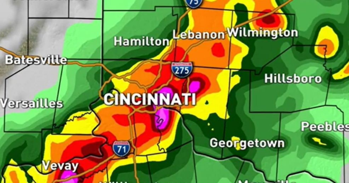
Active weather returns to the Tri-State late Sunday and Sunday night. There is a rare Level 3 out of 5 risk for severe storms, according to the Storm Prediction Center. (WKRC)
CINCINNATI (WKRC) – Active weather returns to the Tri-State late Sunday and Sunday night.
There is a Level 3 out of 5 risk for severe storms, according to the Storm Prediction Center.
Sunday starts with morning rain and storms. Then late Sunday and Sunday night strong winds emerge with a lower hail and spin-up tornado threat.
Flooding is also a concern with some areas getting 1-2 inches of rain. The forecast calls for a low of 59 degrees and a high of 74 degrees.
- Make sure you download for FREE The Weather Authority app
Rain is expected to end by Monday morning, bringing cooler temperatures. However, another warm-up and rounds of storms are anticipated to return by Wednesday.