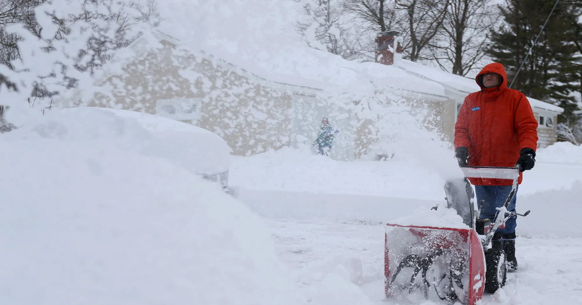
It might be spring, but it is still snowing in New Hampshire.
In fact, this weekend will see two different weather systems of mixed winter precipitation.
According to the National Weather Service (NWS) of Gray, Maine, snow, sleet and freezing rain will cover the state on both Saturday and Sunday. The storm is expected to bring heavy snow and ice accumulation, with dangerous travel and power outages possible. As of right now, the NWS has issued both a winter storm watch and hazardous weather outlook for this weekend’s storm.
Here’s everything to know about the location, timing and effects of this weekend’s winter storm in New Hampshire.
Where in NH will it snow this weekend?
A wintry mix of snow, sleet and freezing rain is expected over the weekend in all parts of New Hampshire except the southern border and coast. The Seacoast area will be largely spared.
Cheshire, Rockingham and Hillsborough counties will likely see lots of rain rather than snow, with some freezing rain possible at times.
When will it snow in NH this weekend?
This weekend, New Hampshire will see two snow systems: one Friday night into Saturday, and one Saturday night into Sunday.
Tonight, snow is expected to start overnight, mixing with freezing rain and sleet Saturday morning before turning to freezing rain Saturday afternoon, ultimately stopping Saturday evening.
The second system will follow a similar pattern, starting as snow overnight Saturday, then mixing with freezing rain and sleet throughout the day Sunday and finally ending as freezing rain or regular rain through Sunday evening and night.
Warmer weather: Will it be a warm spring in NH? Here’s what the NOAA spring forecast predicts
How much snow will NH get this weekend?
New Hampshire’s mixed precipitation is expected to be heavy, with one two inches forecasted for southern New Hampshire (excluding the Seacoast and border), four to six inches in the North and up to eight inches in the central part of the state. Most of the accumulation will happen on Friday night and Saturday, with snowfall rates exceeding one inch per hour possible on Saturday morning.
Along with snow accumulation, this weekend’s winter storm is also expected to accumulate around a half inch of sleet and a quarter inch of ice. Ice accumulation will be the worst across southern New Hampshire, with areas around Concord and Jaffrey under elevated or significant threat.
The combination of ice buildup and low visibility from heavy snow will cause dangerous driving conditions from Friday night through Sunday, with the NWS warning that bridges and overpasses will be especially slick. NWS also warns of an elevated chance for power outages due to the weight of the ice on power lines.
Will this weekend’s solar eclipse be visible in NH?
While the partial solar eclipse on Saturday, March 29 is supposed to be visible in all New England states, due to the snowstorm, the chances of seeing the eclipse in New Hampshire are very slim, says the NWS.
Along with falling snow, dense clouds are expected to cover the skies for the duration of the weekend.