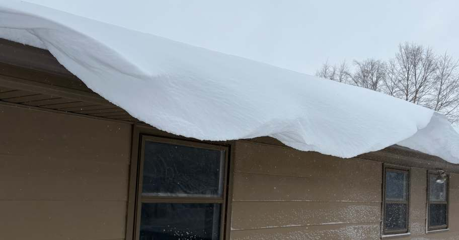
Minnesota is digging itself out of a major winter storm system that dumped a foot of snow on Wednesday morning.
Snow started falling on Tuesday afternoon/evening but intensified overnight, causing havoc on the roads, causing the suspension of bus services in the Twin Cities, and at one point leaving more than 11,000 households without power.
Totals are still coming in, but the highest thus far on Wednesday morning is 13 inches in Dennison, about an hour south of the Twin Cities.
Here are the latest totals from the NWS and the Community Collaborative Rain, Hail and Snow network (CoCoRaHS):
13 inches – Dennison
12 inches – Credit River, Prior Lake
11.9 inches – Nerstrand
11.8 inches – Woodbury
11.5 inches – Elko New Market
11.1 inches – Lakeville
11 inches – Stillwater, Apple Valley, Montgomery
10.8 inches – Oak Park Heights
10.2 inches – Ellendale
10 inches – Inver Grove Heights, Farmington, Savage
9.2 inches – North St. Paul
9.0 inches – Owatonna, Northfield, St. Paul
8.6 inches – Minneapolis
8.5 inches – Sarona, Oakdale, Owatonna, Rosemount, Hastings, Eagan, White Bear Lake
8.4 inches – Fridley, Burnsville
8.3 inches – Marine on St. Croix
8.2 inches – New Brighton
8.0 inches – St. Anthony, Richfield, West St. Paul, Albert Lea, Edina, Roseville, Shoreview
7.8 inches – Bloomington, Hugo, Minnetonka, Grant
7.5 inches – Mankato, South St. Paul, Chisago City, Kenyon
7.4 inches – MSP Airport
7.3 inches – St. Paul Park, Jordan
7.0 inches – Bayport, Madison Lake, Coon Rapids
6.9 inches – Brooklyn Center
6.8 inches – Farmington
6.6 inches – Chanhassen
6.5 inches – Lindstrom, Afton
6.1 inches – Victoria
6.0 inches – Faribault, Falcon Heights
5.8 inches – Carver, Fairmont, Henderson
5.5 inches – Chaska, Garden City, Plymouth
You can find more snow totals where you live by clicking here.