CEDAR RAPIDS, Iowa (KCRG) -We’ll be closely watching the radar this afternoon and tonight for strong to severe storms.

The latest scan from Pinpoint Doppler Radar. (KCRG)
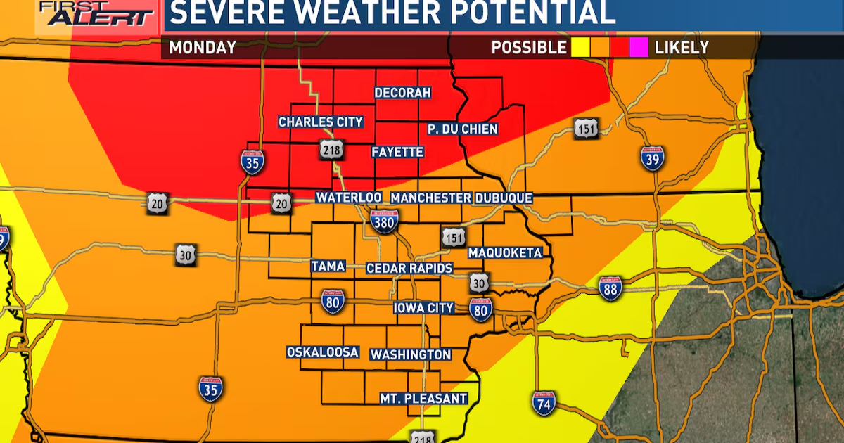
Today’s Severe Storm Potential
We are underneath a partly cloudy sky across Eastern Iowa with temperatures in the 60s and 70s . The best energy for storm development is in our far northeastern counties such as Winneshiek, Allamakee, Fayette, and Clayton counties. These areas have the best chance for seeing strong to severe storms today. However, in order for storms to develop elsewhere, especially along and south of Highway 20, cloud cover needs to continue clearing and temperatures need to rise into the 80s. If temperatures aren’t able to rise high enough, there’s a good chance that storms will have a difficult time developing south of Highway 20. However, any storms that do develop have a decent chance of becoming severe. Any storms that do develop could produce large hail, damaging winds, and tornadoes. The time frame for these afternoon storms are between 3:00 pm and 6:00 pm.

The Potential for Strong Storms Continues this Afternoon & Tonight(KCRG-TV 9 First Alert Storm Team)
Tonight’s Severe Storm Potential
There is another chance for storms to develop once the actual cold front comes into the area. Storms overnight won’t be as strong as any storms that develop this afternoon, but they could still produce some large hail, high winds, and embedded tornadoes. This line of storms will be possible from around 7:00 pm tonight through midnight. After midnight, storms will exit to the east of our area leaving behind a partly cloudy sky and temperatures in the 50s.

The Potential for Strong Storms Continues this Afternoon & Tonight(KCRG-TV 9 First Alert Storm Team)
The Rest of the Week
Tuesday looks pleasant with a partly cloudy sky and highs reaching the upper 60s and low 70s. Some scattered showers are possible Wednesday and Thursday with highs in the 60s. Highs will stay in the 60s through Friday.

The Potential for Strong Storms Continues this Afternoon & Tonight(KCRG-TV 9 First Alert Storm Team)
We’ll be closely watching the radar this afternoon and tonight for strong to severe storms.
Copyright 2025 KCRG. All rights reserved.