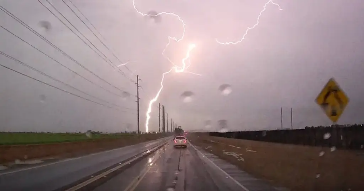
CHICAGO – A powerful storm system blasted through portions of the Plains and Upper Midwest on Wednesday, putting communities south of Chicago on alert for powerful thunderstorms.
The severe weather event was not as extensive as the outbreak that claimed the lives of at least 43 people last week from the Southern Plains through the South, but nearly 50 million residents were in an increased risk zone for severe weather.
Cities such as Chicago and Indianapolis were at an increased risk for severe weather, with communities such as Peoria, Decatur and Champaign at an increased risk.

(FOX Weather)
Due to the threats, Tornado Watches once extended from Northern Illinois to the Kentucky-Tennessee border.A Tornado Watch is in place for northern and central Illinois and western Indiana through Wednesday night. Another Tornado Watch is in effect for parts of southern Illinois, southern Indiana and western and central Kentucky through Wednesday night.
Louisville and Bowling Green, Kentucky are included in the watch through Wednesday at 11 p.m. CDT.
 Severe weather watches and warnings in place.
(FOX Weather)
The FOX Forecast Center stated that indicators such as “dirty rain” and the sighting of several “gustnadoes” suggested that the day was not shaping up to be a record-breaking event. However, that did not stop reports of severe weather from pouring in.
“Gustnadoes” are simply swirls of dust from strong winds that race out ahead of a thunderstorm’s intense downdraft but can produce damage that is equivalent to a bonfied EF-0 or EF-1 twister.
FOX Weather Exclusive Storm Tracker Brandon Copic spotted one of the many vortexes near Stanford, Illinois, on Wednesday afternoon as a line of tornado-warned storms charged across the state southeast of Peoria.
Areas such as around Hammond, Indiana, and Chicago Heights were even put under a Tornado Warning, for what was a radar-indicated tornado.
The first round of extreme weather developed earlier on Wednesday across portions of Nebraska and Iowa, bringing snow, blizzard conditions and even thundersnow.
Power outages have been rising throughout the day in Nebraska, Kansas and Iowa as blizzard conditions continue. A 74 mph wind gust was reported in Lincoln.
Hail accumulations along Interstate 72 were also notable, with several crashes reported as the ice covered roadways, as if they had been through a blizzard.
National Weather Service offices across the Land of Lincoln received reports of hail the size of pennies and quarters falling, which coated some grassy areas.
BUZZ WORDS YOU COULD HEAR DURING SEVERE WEATHER