- Severe storms brought 15-20 inches of snowfall to the Upper Peninsula this weekend.
Severe weekend storms brought up to 20 inches of snowfall in Michigan’s Upper Peninsula, with the state reeling from storm damage.
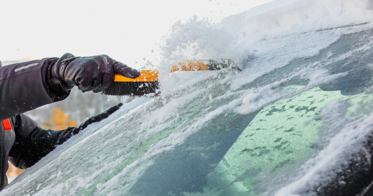
An ice storm Friday afternoon into early Saturday brought snow, freezing rain and ice to regions in northern Michigan, per the National Weather Service. A wave of fierce thunderstorms, freezing rain, and high winds raked Michigan’s Lower Peninsula — along with other Midwest states — on Sunday, leaving three dead and hundreds of thousands in the state without power.
Here’s what to know.
How much did it snow in the Upper Peninsula?
In the Upper Peninsula, the Marquette area got between 15-20 inches of snowfall during the Saturday-Sunday storm, the Marquette NWS office said.
More: Spring markets welcome the season to Michigan. Where to find arts, crafts, food
In Trowbridge Park in Marquette County, the Saturday-Sunday storm brought 17.7 inches of snowfall, per the weather agency. In Harvey, there were 16.2 inches of snowfall reported.
In Munising, there were 12.2 inches of snowfall reported during the Saturday-Sunday storm.
Sault Ste. Marie reported 2.2 inches of snow Friday into early Saturday and a trace of snowfall during the Saturday into Sunday storm, the Gaylord NWS said. The area had reports of 1/2 an inch of snowfall Sunday evening into Monday morning.
How much ice did northern Michigan get?
In Michigan’s Lower Peninsula, the northeastern region saw higher ice accumulation, per the NWS Gaylord office.
In Alcona, Alpena, Crawford and Oscoda counties, ice reports ranged from 1/4 to 1/2 of an inch, the weather agency said. In the city of Alpena, 1/4 of an inch of ice was reported. In Atlanta in Montmorency County, 1/2 an inch of ice was reported.
Between Gaylord and Almira, there was 1.5 inches of ice reported, per the Gaylord NWS.
In the Petoskey area, ice accumulations ranged between 1/4 to 1/3 of an inch, the Gaylord NWS said. Traverse City had heavy rainfall, but little to no ice accumulation.
How much ice did the Upper Peninsula get?
The Upper Peninsula saw higher ice accumulations in its eastern region, per the weather agency.
In Newberry, 1/4 of an inch of ice accumulation was reported, the NWS Marquette office said.
In Sault Ste. Marie, the area had sleet and snow along with freezing rain, with light icing, per the Gaylord NWS.
How many Michigan residents remain out of power?
The two largest utilities in the state – DTE and Consumers Energy – are reporting over 177,000 customers without power as of 11:30 a.m. Monday.
That was down from more than 227,000 from the night before.
“This weekend has showcased all of the unpredictable weather that Michigan experiences,” Chris Fultz of Consumers Energy said late Sunday, adding that the utility was dispatching more than 600 crews “to restore power across the state.”
More: Hummingbirds are heading north. How you can prepare for them in Michigan
You can check with other utilities across the state online.
With temperatures set to drop into the teens in some areas of northern Michigan overnight, residents should beware of the risk of hypothermia and pipes bursting amid ongoing power outages, NWS meteorologist Sean Christensen warned.
The Detroit Free Press contributed.
Contact Jenna Prestininzi: [email protected].